Bravo1Alpha: geospatial analysis platform, brand and websites
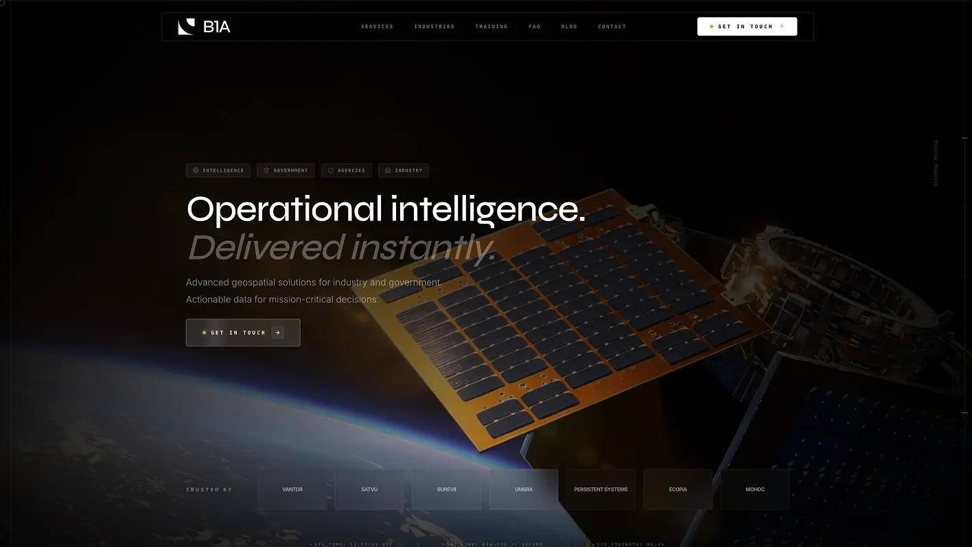
We designed a browser-based analysis platform for satellite imagery with structured reporting, and built the brand and websites with interactive 3D scenes.
See the caseProjects successfully launched for clients
Years in Web & UX Design
International Design Awards

Satellite and geospatial products deal with huge files, many layers and expert users who cannot afford to misread a map. At the same time, space companies have to explain what they do to investors and buyers who have never opened a GeoTIFF. Cosmos Studio designs for both: the analyst's workspace and the story on the website.
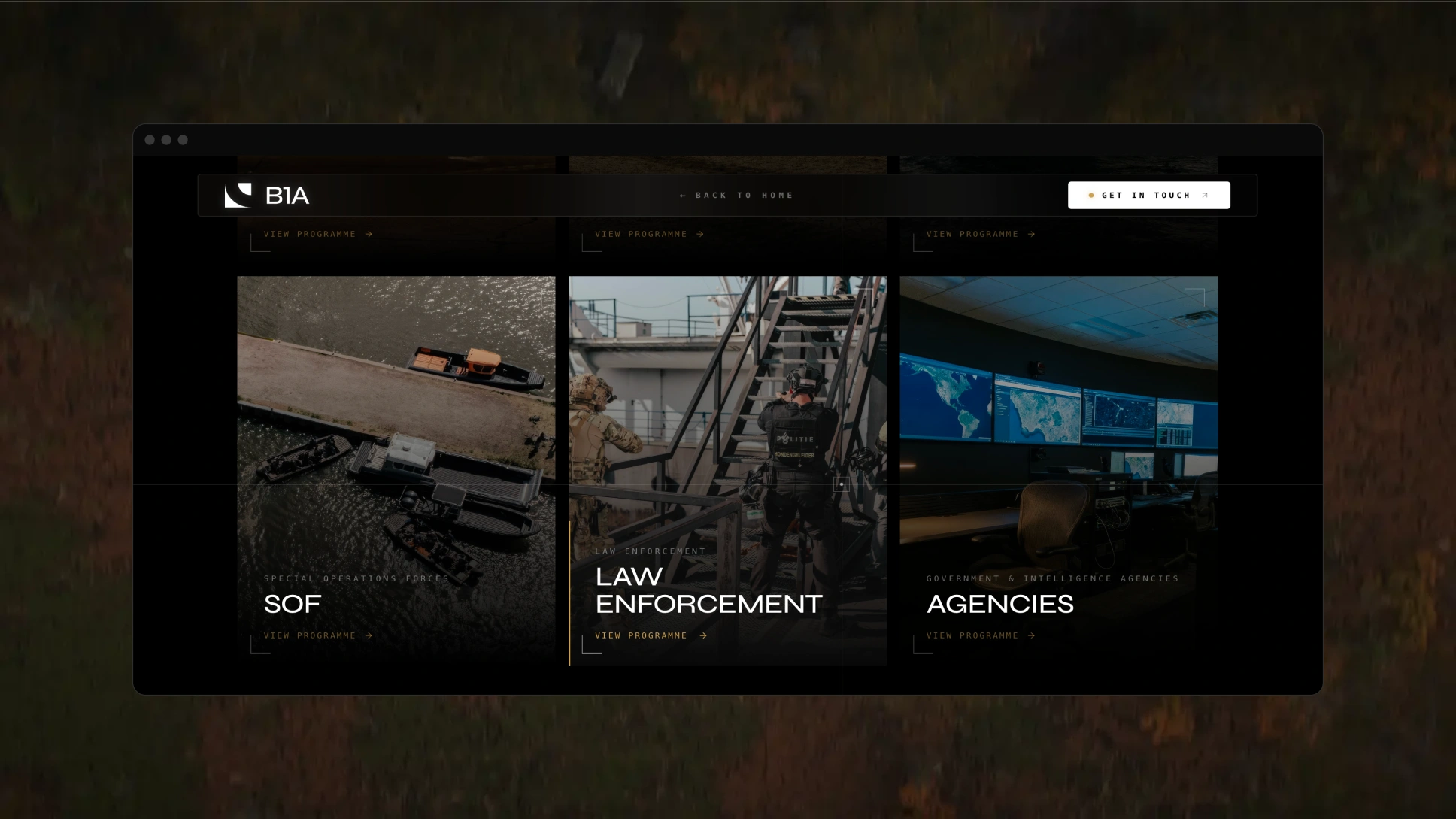
Our longest-running defense partnership is with Bravo1Alpha, a European GEOINT and IMINT provider. We designed its browser-based analysis platform for electro-optical, multispectral and SAR imagery, with MIL-STD-2525 annotations that turn into structured reports, and built its brand and websites with interactive 3D scenes.
From the analyst's workspace to the website that wins the contract.
Workspaces for electro-optical, multispectral and SAR imagery with annotation tools, comparison views and reporting, as in the Bravo1Alpha platform.
Map-first dashboards with layer controls, time sliders and correct symbology, so analysts see what changed and where.
Catalogs, search by area and date, tasking and ordering flows that make buying imagery or analytics simple for customers.
Interactive 3D scenes, terrain and orbit visuals and product renders that explain complex space technology at a glance.
Brands, websites and pitch decks that explain your capabilities clearly without exposing confidential details.
Analysts trust interfaces that are precise about what they show.
The map stays the center of the workflow, with tools and data around it.
Every value shows its source, and precision never looks higher than the data supports.
Loading states, previews and progress designed for heavy imagery and slow networks.
MIL-STD-2525 and NATO APP-6 used correctly on maps and in reports.
Analysts, managers and customers each see the tools and data they need.
Visual stories that help non-experts understand what your imagery and analytics show.
Selected work relevant to space and geospatial teams.

We designed a browser-based analysis platform for satellite imagery with structured reporting, and built the brand and websites with interactive 3D scenes.
See the case
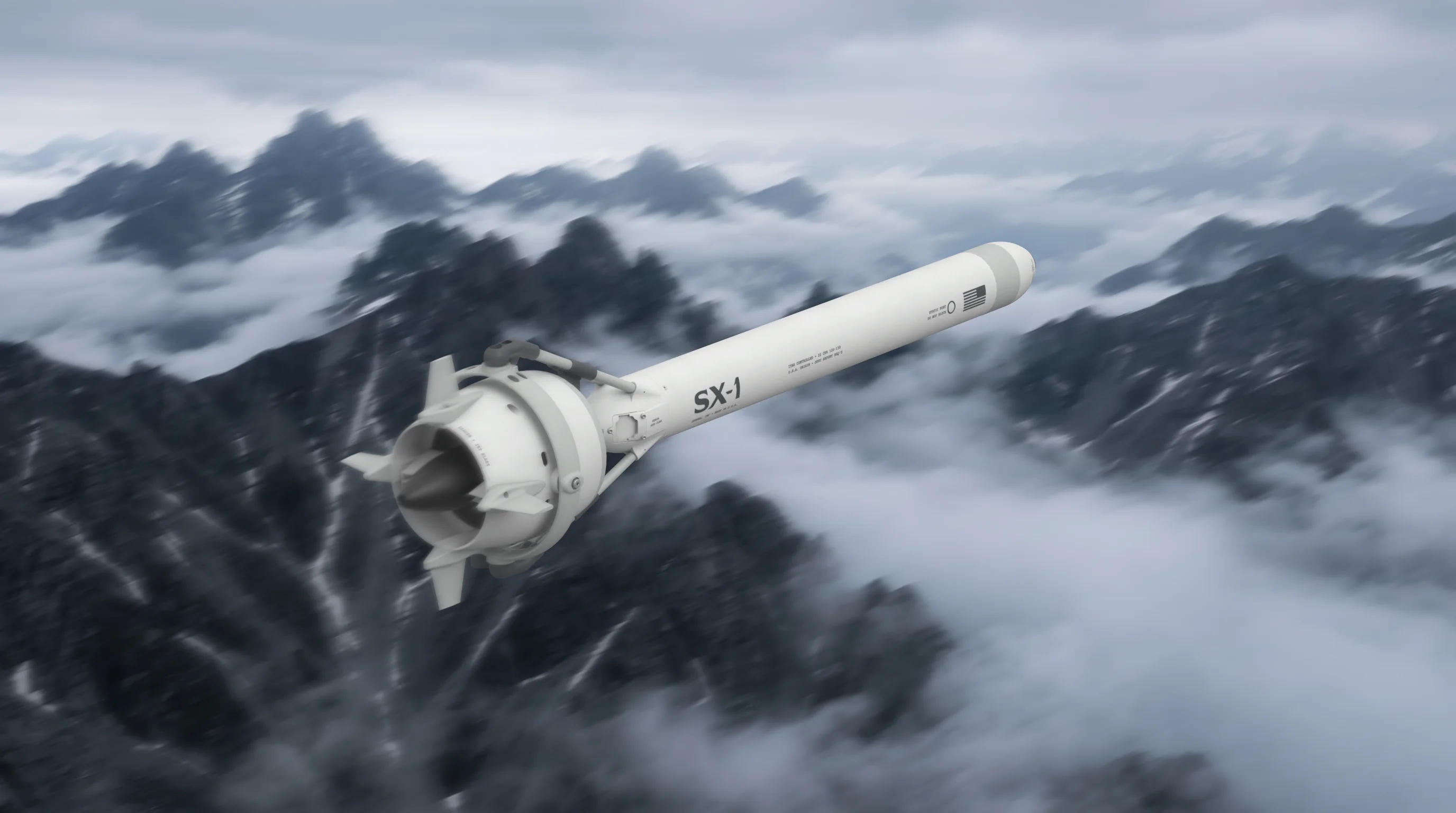
We visualized the SX-1 interceptor in 3D and designed and built the website in-house.
See the case.webp)
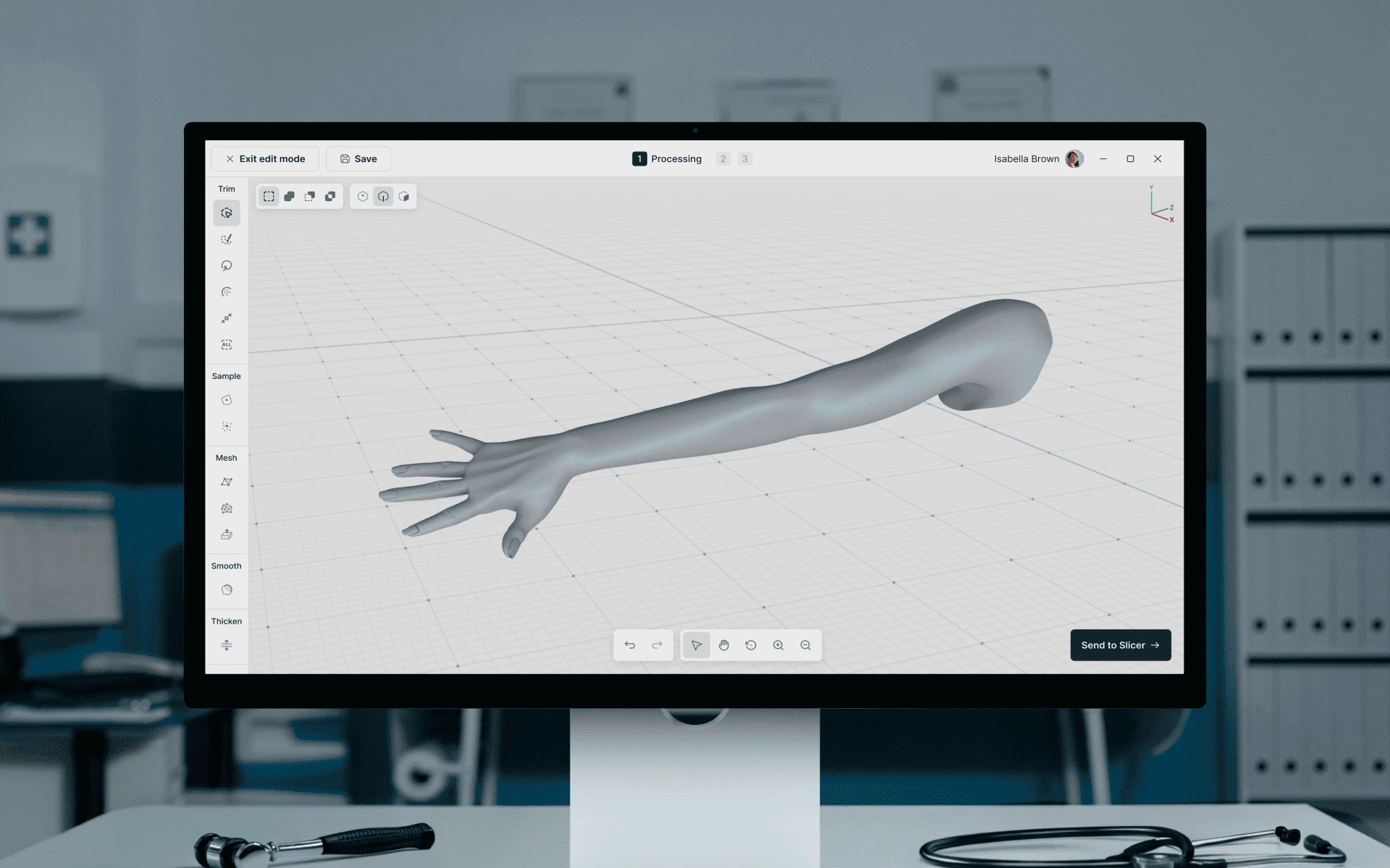
We designed a professional desktop application with a scan library, processing queue and 3D model tools.
See the case
Talk to the team behind the Bravo1Alpha platform. We will suggest a scope on the first call.
“The animation work stood out: it was visually strong and is a big part of what gives our site its character.”
“I’m impressed by how much Cosmos Studio cares and their attention to detail.”
“We were impressed with Cosmos Studio’s focus on delivering impactful product solutions that significantly enhanced our UX.”
Healthcare
Education / EdTech
Logistics
SaaS, AI
Education / EdTech
Education / EdTech

entertainment
3× FWA of the Day
18 awards. 4× Site of the Day
25× UI, UX, Innovation
4× SOTD, SOTM, OWDA
1× Winner Brand identity
5× Site of the Day, Dev Award
We're not a freelancer who disappears after delivery. Not a 200-person agency where you'll never meet a senior. We're a boutique, embedded design team and the longer we work together, the sharper we get.
Remote-friendly team growing fast
We focus on quality over quantity


Sounds like your team?
Book a Discovery CallYou need a team with security clearances, satellite or ground-segment engineering, or data pipeline development only.
We design imagery analysis platforms, map dashboards, data catalogs, tasking and ordering portals, and admin tools. We also create websites, brands and pitch materials for space and geospatial companies.
Yes. For Bravo1Alpha we designed a browser-based platform for electro-optical, multispectral and SAR imagery, including large GeoTIFF files, with annotations that turn into structured reports.
Yes. We design map-first interfaces and build front-ends in React, Next.js and TypeScript, including map, WebGL and Three.js views. Backend and data pipelines are handled by your team or our senior partners.
Yes. We design map annotation and situational awareness interfaces with MIL-STD-2525 and NATO APP-6 symbology, and add custom symbols only when the standards do not cover a specific need.
A UX audit takes 1–2 weeks. A redesign of core workflows usually takes 4–8 weeks, and larger platforms are delivered in stages.
Yes. We work under NDA, only with material you are allowed to share, and use sample or synthetic data for designs and prototypes. We do not hold security clearances.
Drop us a message, Anna reviews every brief personally and gets back to you within one business day. From there it's simple: we align on scope, sign the contract, and book your start date. Fast, clear, no back-and-forth.